 Diraflow
Diraflow
Diraflow
Precision 3D object detection, point cloud segmentation, LIDAR annotation, and sensor fusion — from roboticists and autonomous systems specialists with deep domain expertise.
Nine specialized annotation types covering every 3D and LIDAR AI use case — from point cloud segmentation to autonomous vehicle perception.
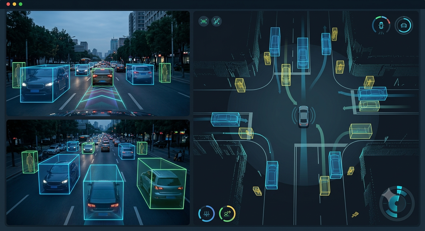
3D bounding box annotation labels objects with precise 3D cuboid boundaries in point clouds and 3D scenes. Annotators mark object position, dimensions, and orientation in 3D space, handling occlusion, varying scales, and complex spatial relationships. Essential for autonomous vehicle perception, robotics, and 3D scene understanding systems requiring precise spatial object localization.
Common use cases: Autonomous vehicle object detection, robot navigation, 3D scene understanding, augmented reality object placement, drone perception systems, industrial inspection, and 3D object tracking.
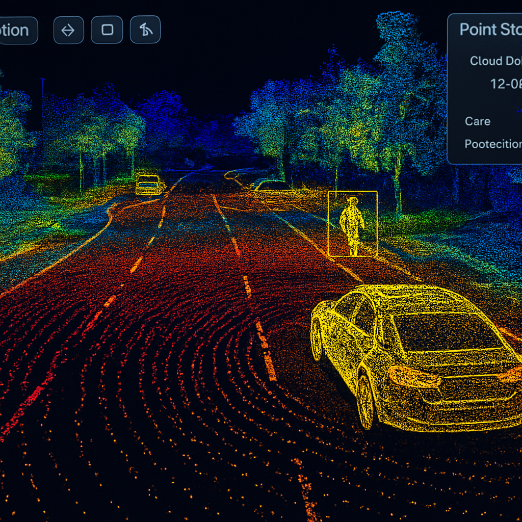
Point cloud segmentation assigns semantic labels to individual 3D points — ground, vehicles, pedestrians, buildings, vegetation, etc. Annotators classify millions of points with precision, creating dense 3D scene understanding. Critical for autonomous driving, robotics, and LiDAR-based mapping systems that require comprehensive scene understanding at the point level.
Common use cases: Autonomous vehicle perception, 3D mapping and SLAM, robot navigation, urban scene understanding, drone data processing, industrial 3D scanning, and LIDAR-based surveillance.
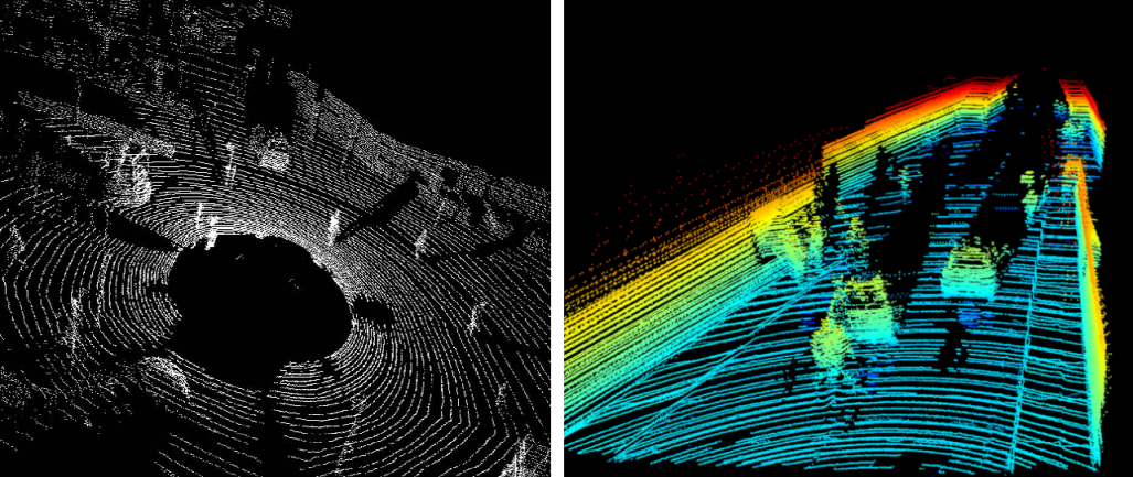
LIDAR object detection identifies and locates objects in 3D point clouds with precise 3D boxes and trajectories. Annotators mark object boundaries, classify types, and maintain consistent IDs across temporal sequences for tracking. Enables autonomous vehicles and robots to detect, classify, and track moving objects with high accuracy in all weather conditions.
Common use cases: Autonomous vehicle perception, multi-object tracking, pedestrian detection, vehicle classification, weather-robust detection, robotics object tracking, and traffic monitoring systems.
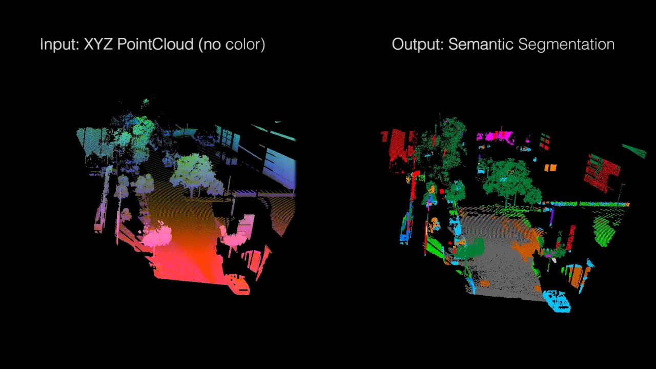
3D semantic segmentation labels all points in a scene with semantic classes — road, sidewalk, buildings, poles, vegetation, sky. Annotators classify dense point clouds with pixel-perfect accuracy, understanding the complete spatial environment. Essential for autonomous vehicles, 3D mapping, urban planning analysis, and applications requiring comprehensive scene understanding.
Common use cases: Autonomous driving scene understanding, 3D mapping and reconstruction, urban planning and analysis, building reconstruction, forestry mapping, geological surveys, and detailed environment modeling.
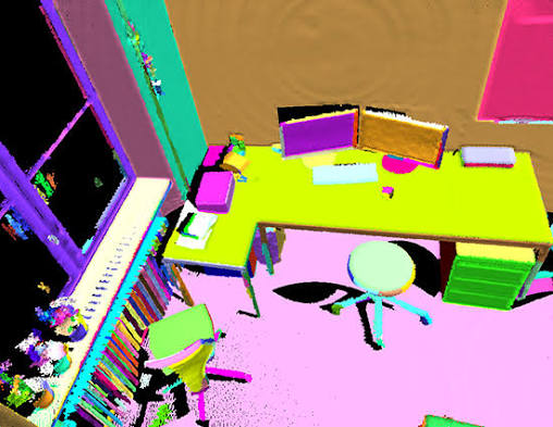
3D instance segmentation separates individual objects in point clouds, assigning unique identifiers to each instance. Annotators distinguish between multiple vehicles, buildings, or items in the same scene, creating separate masks for each. Critical for multi-object understanding, autonomous systems that must track individual entities, and applications requiring fine-grained object-level analysis.
Common use cases: Autonomous vehicle multi-vehicle tracking, 3D object inventory systems, robot manipulation and grasping, warehouse automation, building component identification, and detailed scene understanding.
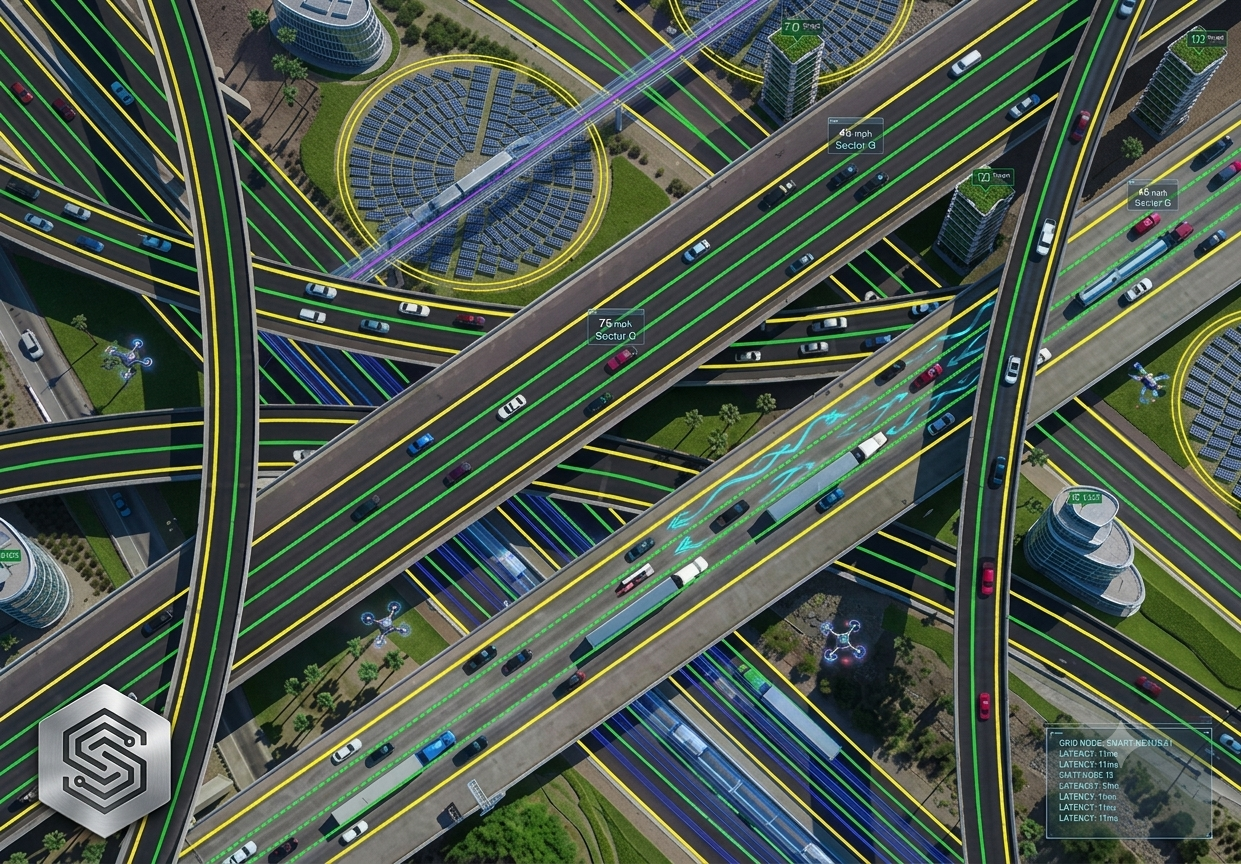
Road and lane annotation marks road boundaries, lane markings, and drivable surfaces in 3D point clouds. Annotators identify lane divisions, road edges, intersections, and driving areas with high precision. Essential for autonomous vehicle navigation, path planning, and understanding road infrastructure at scale across diverse geographic regions and conditions.
Common use cases: Autonomous vehicle navigation, HD map creation, lane detection training, path planning systems, autonomous truck systems, traffic pattern analysis, and road maintenance planning.
We employ roboticists, autonomous systems engineers, and 3D geometry specialists who understand spatial relationships and LIDAR sensor characteristics. Rigorous quality checks ensure 3D boxes, point classifications, and multi-sensor alignments meet production standards.
Send us details about your 3D and LIDAR annotation needs and we'll provide a tailored proposal — scope, timeline, and pricing — within one business day.
Include annotation type, data format, and timeline.